
Feb. 2, 2012 — Winter Returns, Southeast Expected to see the Most Snow
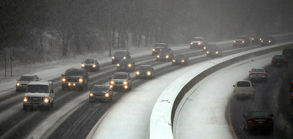
As a cold front crosses the state today, snow showers will move through most areas. This evening and tonight the snow will intensify, especially in the southeast and south central portions of the state. An area of low pressure to the south of Wyoming, will enhance the snow in those southern counties. Winter Storm Warnings, Watches and Advisories are in effect for the southeast and south central portions of the state through late Friday.
The weather will deteriorate in the southeast and south central portions of the state this evening and tonight. Snow, some of it heavy at times, will combine with wind up to 35 mph causing poor visibility and poor traveling conditions. Winter driving conditions will be found on all of I-80 today and tonight, with the most snow and wind in the southeast from near Elk Mountain to the Nebraska border. Driving conditions will also be poor along I-25 from the Colorado border north to near Douglas. Keep in mind that snow is expected in other areas of the state as well, but accumulations will be less further north and west. In Casper, two to five inches of snow are expected today into Friday, with more on Casper Mountain.
Southeast and portions of east central and south central Wyoming will continue to see more snow and wind on Friday as well. Temperatures in Casper will be in the 20s and lower 30s with lows in the teens.
More From 104.7 KISS-FM


![The World Has Changed In ‘The Avengers’ Super Bowl 2012 Commercial [VIDEO]](http://townsquare.media/site/147/files/2012/02/Thor.jpg?w=980&q=75)

![Sheep: The Ultimate Trolls – You Mad Bro? [VIDEO]](http://townsquare.media/site/147/files/2012/02/Troll-Sheep.jpg?w=980&q=75)
