Updated Winter Weather Warnings, Advisories For Wyoming
The National Weather Service has issued a Winter Weather Advisory for the Casper area and portions of the state through early tomorrow morning. There are also Winter Storm Warnings for portions of the Big Horn and Absaroka Mountains as well as the Sheridan area until early tomorrow morning.
Winter Weather Advisory remains in effect from until 5am Thursday for the Casper area including Casper Mountain. Snowfall of 3 to 6 inches is expected over the lower elevations of Natrona County with 7 to 10 inches on Casper Mountain.
Winter Storm Warning remains in effect until 5am Thursday for the Sheridan, Dayton, Ranchester, Big Horn and Story areas. This warning also includes the northeast Big Horn Mountains including Burgess Junction and the Absaroka Mountains. Snowfall amounts of 4 to 10 inches are expected in the Sheridan area with 8 to 15 in the mountains.
Most of northern, central, southern and eastern Wyoming is under a Winter Weather Advisory today and continuing either through late tonight or early tomorrow morning. The lower elevations can expect 3 up to 10 inches of snow with the mountains ranges anywhere from 8 to 15 inches.
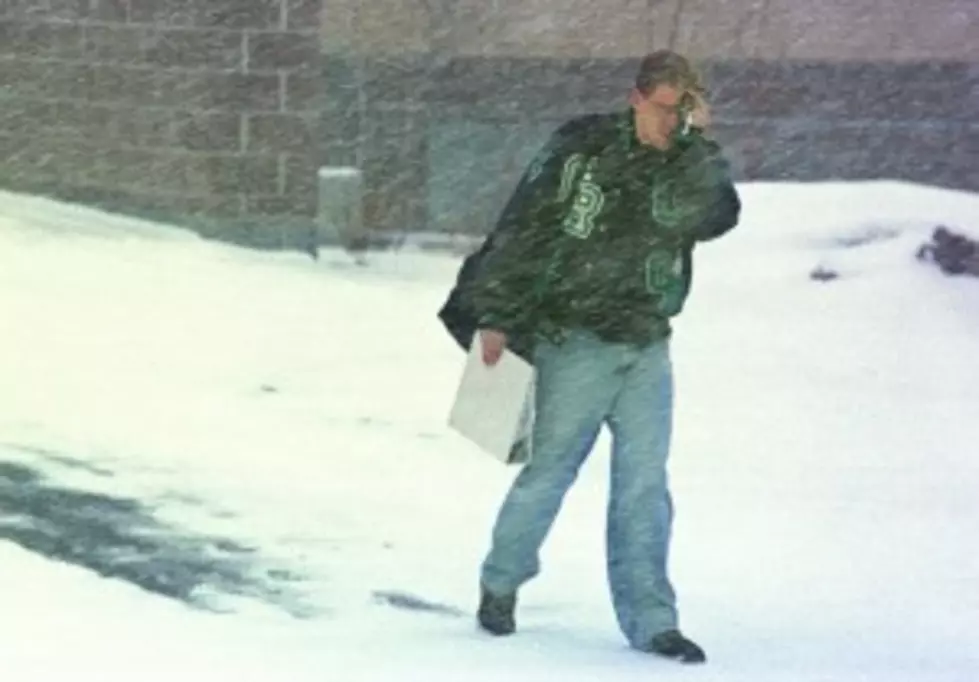
Winds can be expected today of 15 to 30mph causing some blowing and drifting snow. Temperatures will remain in the 20′s for today and Thursday.
To get the latest road conditions from WYDOT, go to k2radio.com and click on the weather tab at the top of the page.
More From 104.7 KISS-FM


![10 Hipster Dogs Too Cool for Doggy Sweaters [PHOTOS]](http://townsquare.media/site/147/files/2011/12/hipster-dogs-4.jpg?w=980&q=75)