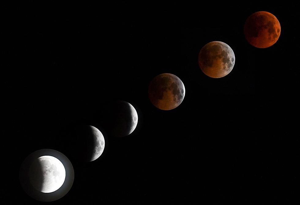
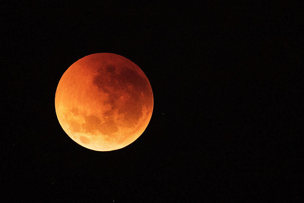
Watching the Eclipse in Wyoming? Here’s When to Look Up
With less than 24 hours to go until the total solar eclipse, the folks at Wyoming's National Weather Service offices have put together a few charts to help folks in the Cowboy State -- and yes, even the folks on the wrong side of the Nebraska border -- prepare to view this rare event.
For each selected city, the chart shows when the partial eclipse begins, the beginning and end of totality, the end of the partial eclipse and the predicted sky conditions during totality.
In total, it's nearly a three-hour event, with just shy of two-and-a-half minutes of totality for places like Casper, which lie on the centerline of the eclipse.
And, as promised, here are a few details for the Nebraska folks.
These details are useful, but the National Weather Service emphasizes that folks should use an interactive map -- like this easy-to-use map from NASA -- to find precise information for specific locations.
More From 104.7 KISS-FM