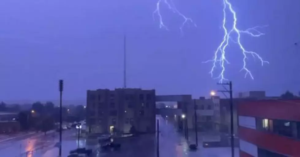
Weather Service Issues Severe Thunderstorm Warning For Northeastern Natrona County
Golfball size hail was reported in Midwest.
Severe Thunderstorm Warning
National Weather Service Riverton WY
531 PM MDT FRI JUN 15 2018
The National Weather Service in Riverton has issued a
* Severe Thunderstorm Warning for...
Southeastern Johnson County in north central Wyoming...
Northeastern Natrona County in central Wyoming...
* Until 615 PM MDT.
* At 529 PM MDT, a severe thunderstorm was located near Edgerton, or
32 miles southeast of Kaycee, moving northeast at 20 mph.
HAZARD...Golf ball size hail.
SOURCE...Public. At 526 pm, golf ball size hail was reported
at the fire department in Midwest.
IMPACT...People and animals outdoors will be injured. Expect
damage to roofs, siding, windows, and vehicles.
* This severe thunderstorm will remain over mainly rural areas of
southeastern Johnson and northeastern Natrona Counties, and will
impact Midwest and Edgerton.
PRECAUTIONARY/PREPAREDNESS ACTIONS...
For your protection move to an interior room on the lowest floor of a
building.
Prepare immediately for large hail and deadly cloud to ground
lightning. Seek shelter inside a well-built structure. Stay away from
windows.
Large hail and damaging winds and continuous cloud to ground
lightning is occurring with this storm. Move indoors immediately.
Lightning is one of nature`s leading killers. Remember, if you can
hear thunder, you are close enough to be struck by lightning.
More From 104.7 KISS-FM