Again. New Storm Could Create White-Out Travel Conditions
Some wag recently posted a meme that this isn't about a season, it's harassment.
Prepare, seriously, to be harassed again with a new winter storm next week.
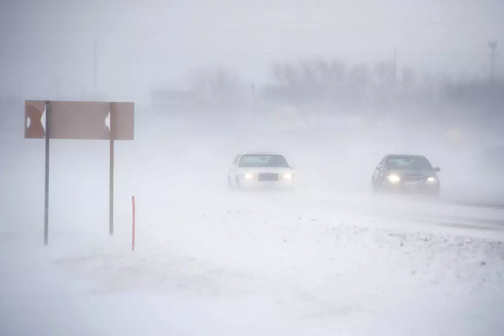
And it's serious because potential white-out conditions could make travel difficult if not impossible.
From Sunday night, heavy snowfall -- up to 1 foot in Casper and between 25 inches and 35 inches on Casper Mountain -- through Tuesday afternoon will hammer Natrona County, according to the winter storm watch issued by the Riverton Office of the National Weather Service on Saturday.
More to the point, snow will begin Sunday night with an 80% chance of precipitation and will leave about a half-inch of snow by Monday morning.
Monday, the chance of precipitation is 90% with 4 inches to 8 inches more accumulation coupled with winds from 19 mph to 24 mph, and gusts as high as 34 mph.
Monday night, the chance of precipitation rises to 100%, with a northeast wind of 25 mph to 30 mph and gusts as high as 47 mph.
The snow, coupled with northeast and north winds between 20 mph and 40 mph, could create near white-out conditions, according to the National Weather Service.
Monday and Tuesday highs are predicted to be 33 degrees and 27 degrees respectively, with overnight lows dipping to 24 and 15.
The wind also create blow-over risks for high-profile vehicles, especially in south Casper and on Wyoming Boulevard.
The National Weather Service offers some hope that snow may melt during the day, especially on paved surfaces, so accumulations may be less than those forecasted.
For travel information, visit the Wyoming Department of Transportation's wyoroad.info website.
Man and Wife Create 'Wyoming 4x4 Recovery Squad' to Assist Vehicles Stuck in the Snow
Sugar Coated Downtown Casper
More From 104.7 KISS-FM
