Take A Look At Fantastic Wyoming Scenery Near Laramie Peak
You've heard of Laramie Peak, Esterbrook and Medicine Bow National Forest, but what about Bear Head Mountain, South Mountain or Round Mountain? They're all incredible peaks just south of Laramie peak.
There's no doubt that living in Wyoming is an outdoor lovers dream. One thing I've tried to do since moving here, was to explore as often as possible.
Camping, fishing, hunting, atv riding and other outdoor adventures has always been in my interest zone, but here it's x 1,000.
I'd gone camping at Laramie Peaks Friend Park before, but hadn't really explored the area around it. That has changed and I kick myself for not checking it out before.
If you've made the trip from Douglas and headed south, you think you're getting close when you get off the paved road. That's not the case, it's really part of the adventure. Gravel, dirt/mud, boulders, wash outs, antelope, elk, deer and cows are a few of your obstacles to reach your destination.
I'm usually not a campground type guy, but I hadn't had the chance to really check out other options around the area. Luckily, there are quite a few campsites at Friend Park Campground and I've never been there when I didn't get one. It's only $10 per night and there are toilets.
Just outside the campground, there are many places to set up camp. Now that I've had the chance to explore, about a half mile west of the campground are quite a few places to set up shop for free.
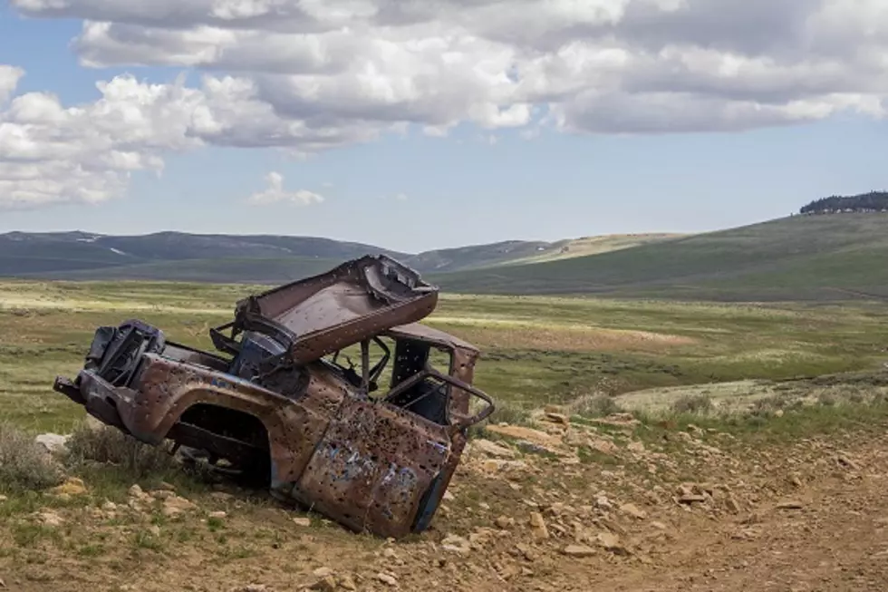
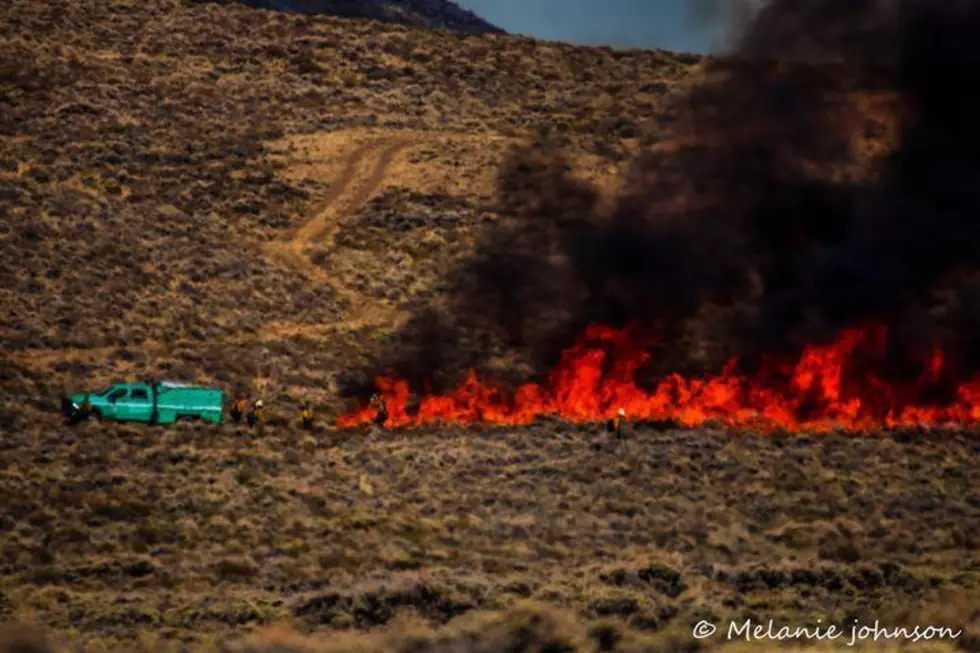
Even though it rained much of the first day there, being out in nature is way better than sitting on the couch watching tv. When the rain stopped the next day, hitting the road on my side by side paid off big time. Seeing mountain peaks I'd never seen before and getting an up close look at the damage done over the years by the bark beetle.
The trails were a bit muddy and had to cross water a couple times, but it was the most peaceful, adventure filled trip. It's definitely worth the drive and time to explore.
I downloaded the Avenza Maps App and thanks to the National Forest Service, you can download maps directly to your phone. Even if you don't have great service, the map will show you where you are.
Explore Wyoming's Medicine Bow National Forest
The Laramie Peak Trail From Top To Bottom
Pictures of the Stunning Popo Agie Wilderness Area in Wyoming
More From 104.7 KISS-FM