Updated: Winter Storm Warning And High Wind Warning For Casper
Crazy weather right now - we continue to deal with the high winds, and then later tonight - National Weather Service has us under a Winter Storm Warning. Here's the info:
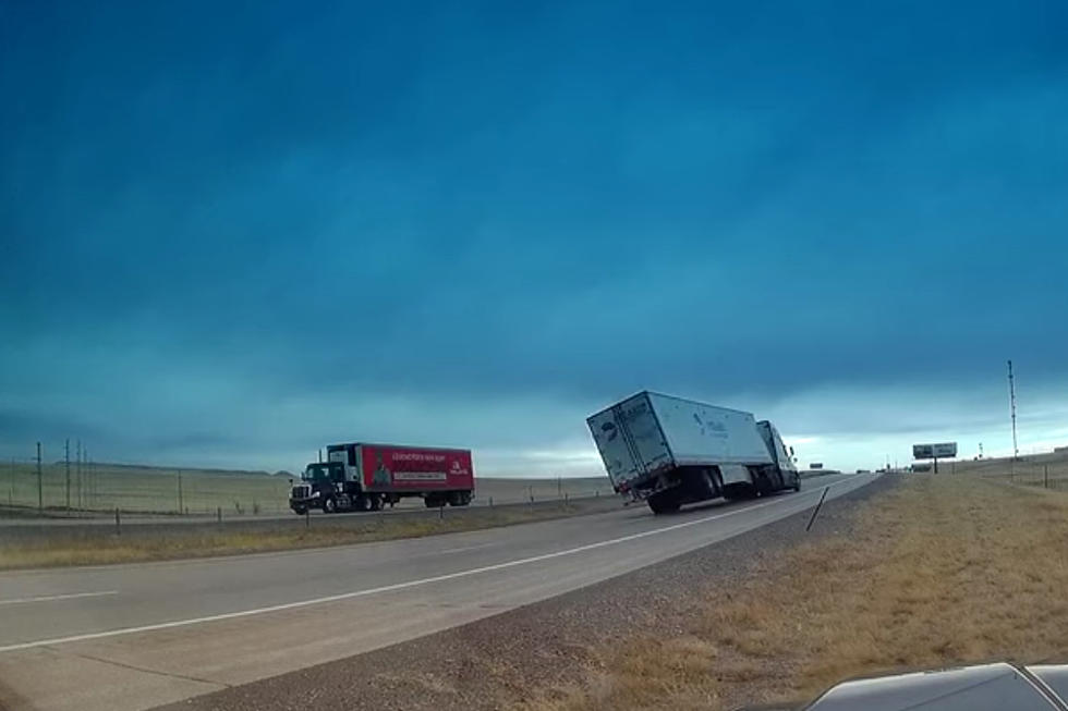
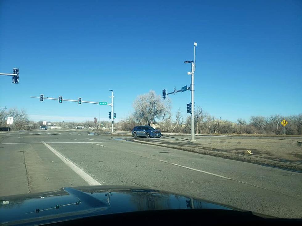
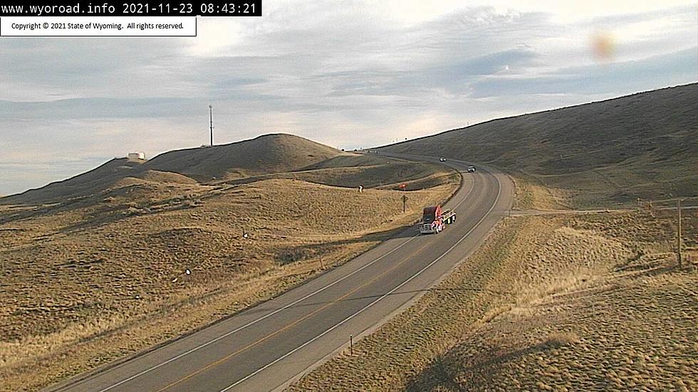
High Wind Warning stays in effect until 6pm this evening - 30 to 45 mph winds, with gusts 60 to 65, and isolated higher gusts of 80 mph. Casper has already been getting winds of 40 to 45 mph, with gusts over 60 mph this morning. Have already seen a semi overturned on Wyoming Boulevard - travel on Highways 287 and 220 from Beaver Rim to near Muddy Gap to Casper may be hazardous. Wyoming Boulevard along the southeast side of Casper may get gusts up to 80 mph - be careful.
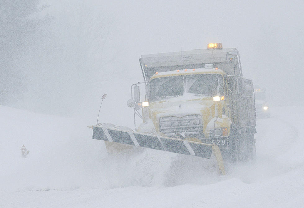
Winter Storm Warning remains in effect from midnight tonight, through 5am Friday. Light snow developing this evening, may become heavy after midnight and could continue through Thursday night. 5 to 10 inches may accumulate across southern Natrona County, including the Casper area. Casper Mountain may get as much as 8 to 13 inches. 3 to 6 inches of snowfall may occur across northern Natrona County.
North to northeast winds of 20 to 30 mph with gusts of 35 mph may cause significant blowing & drifting snow. Travel across Natrona County as well as on Casper Mountain may become hazardous by late tonight, especially for those that navigate Casper Mountain Road. Those planning outdoor activities should be prepared for deteriorating weather conditions.
Keep it on 104.7 for the latest, road reports available at kisscasper.com as well - careful out there!
More From 104.7 KISS-FM