NWS: 10-15 Inches of Snow Expected for Casper Mountain
Casper Mountain is set to be under a winter storm warning for 12 hours on Friday and will likely see significant snow accumulation, according to the National Weather Service.
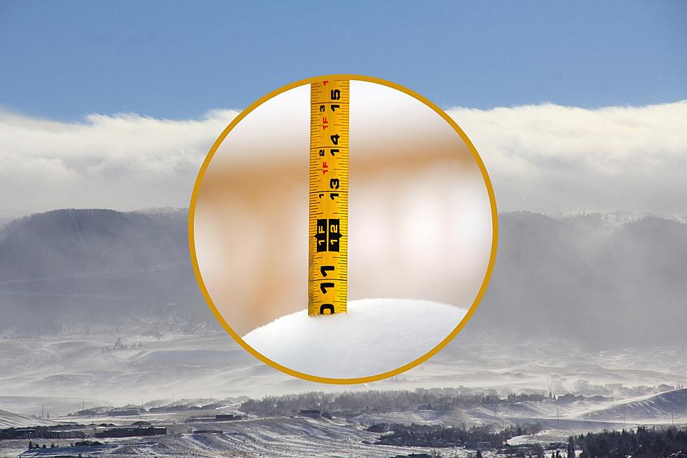
A total of 10-15 inches of snow accumulation is expected on Casper Mountain, with the heaviest snowfall expected between 9 a.m. and 5 p.m.
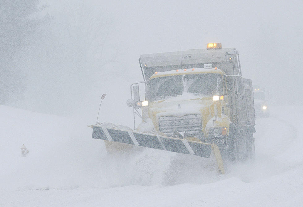
The winter storm warning will be in effect from 9 a.m. to 9 p.m. Friday. Slick road conditions and reduced visibility are expected, especially during the Friday evening commute.
Casper remained under a winter storm advisory as of Wednesday afternoon, with the latest NWS forecast calling for three to five inches of snow accumulation and higher amounts between Powder River and Hiland.
Also under winter storm warnings are most of Sweetwater County along with portions of Sublette, Fremont and Natrona Counties. Several other areas remained under a winter storm advisory as of Thursday afternoon.
For the latest road conditions, visit WyoRoad.info, call 511 or download the Wyoming 511 app.
More From 104.7 KISS-FM